
Global Storms Tracker & Database
StormAtlas provides a comprehensive global database of current and historical storms, including tropical storms, hurricanes, typhoons and cyclones. Each storm record includes formation time, location, maximum wind speed, minimum pressure and historical track information. Browse storms by ocean basin, year and storm intensity to explore the full archive of tropical cyclone activity worldwide.
🌐Showing your local time
Current Active Storms
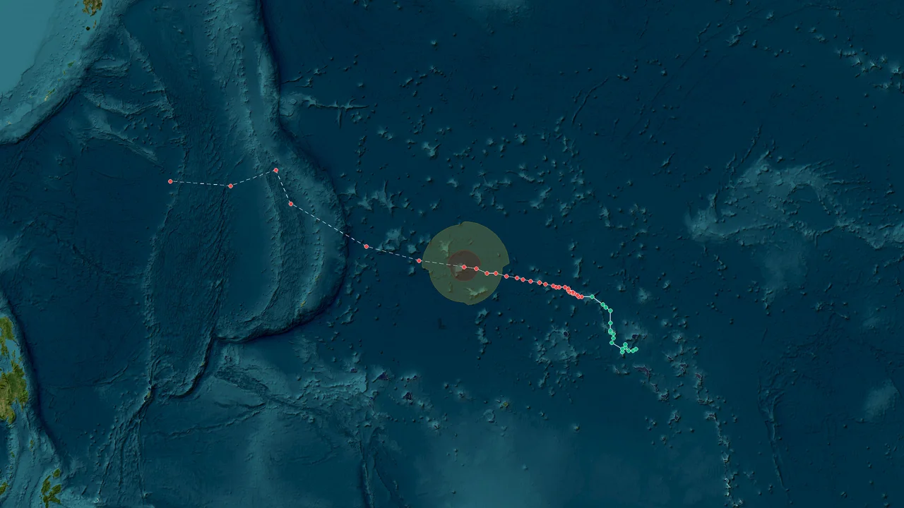
Typhoon In-fa (2026)
Formation Time: 24 Oct 2026 05:00 GMT+11
Formation Location: West Pacific(10.4°N, 166.7°E)
Max Wind Speed: 112 mph (180 km/h)
Min Pressure: 950 hPa
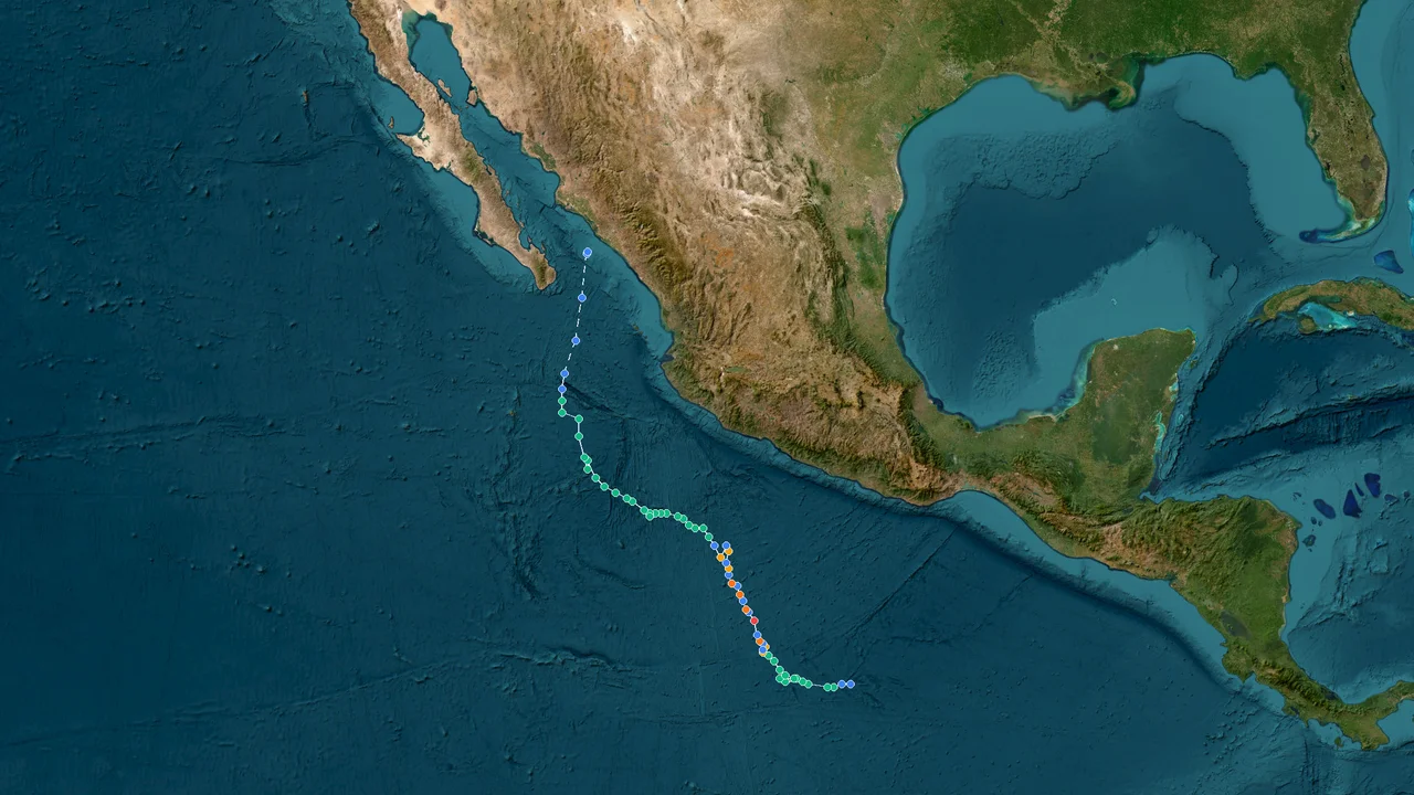
Tropical Depression Vance (2026)
Formation Time: 21 Oct 2026 05:00 GMT-7
Formation Location: Atlantic(9.5°N, 99.0°W)
Max Wind Speed: 114 mph (184 km/h)
Min Pressure: 961 hPa
Historical Storm Database
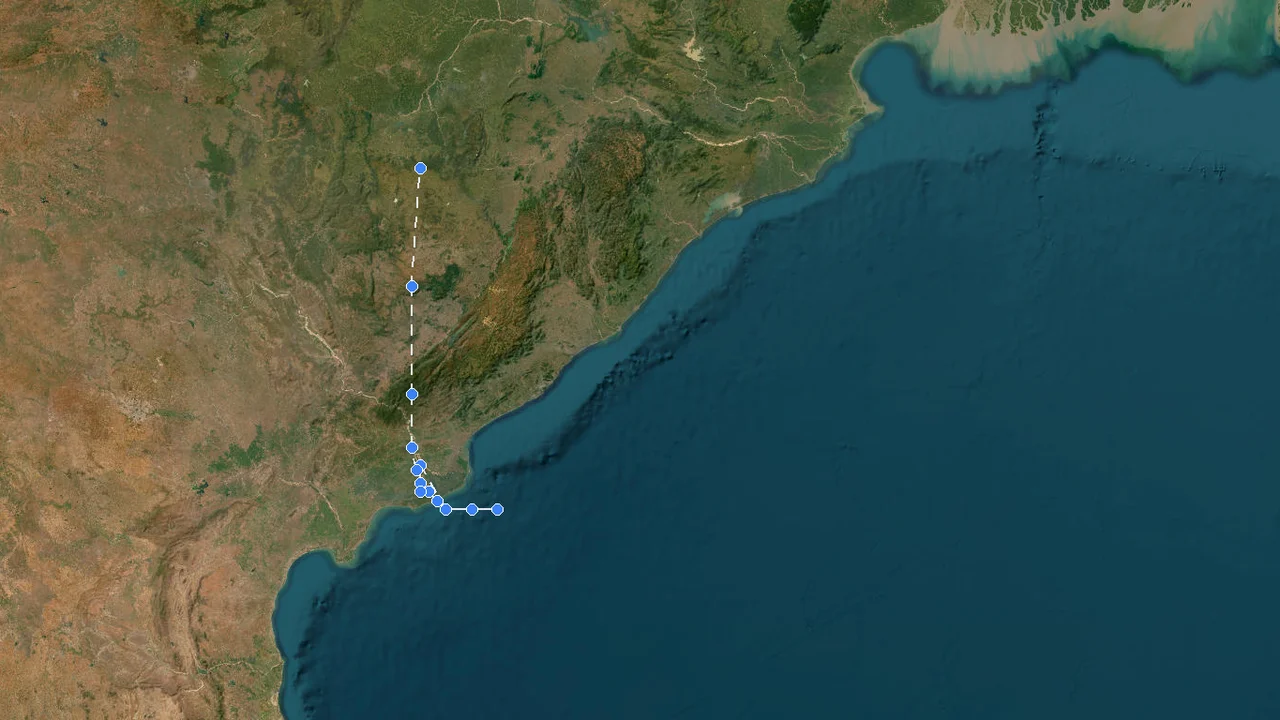
Severe Cyclonic Storm Ornab (2026)
Formation Time: 27 Oct 2026 18:00 GMT+6
Formation Location: Indian Ocean(16.3°N, 82.7°E)
Dissipation Time: 28 Oct 2026 15:00 GMT+6
Max Wind Speed: 0 mph (0 km/h)
Min Pressure: 0 hPa
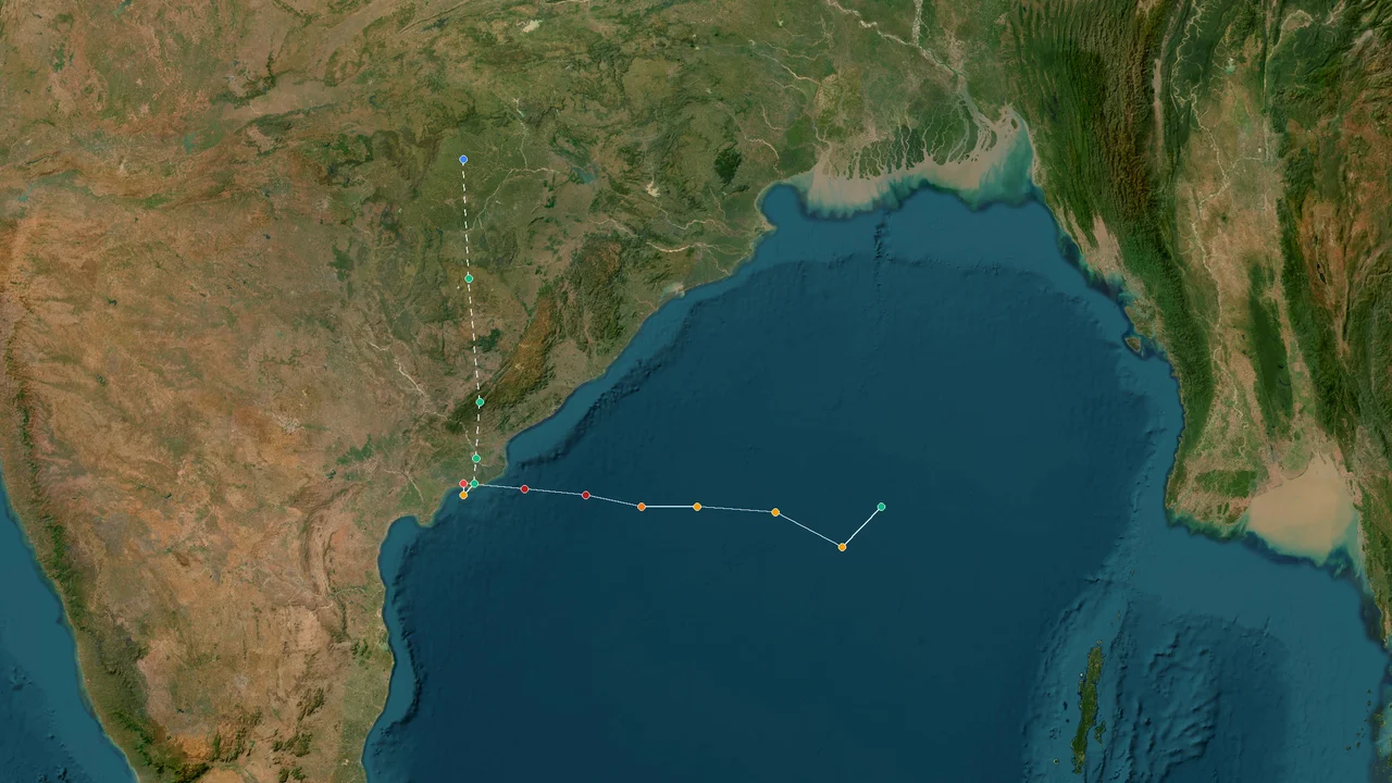
Tropical Storm Arnab (2026)
Formation Time: 26 Oct 2026 06:00 GMT+6
Formation Location: Indian Ocean(16.0°N, 89.1°E)
Dissipation Time: 28 Oct 2026 12:00 GMT+6
Max Wind Speed: 137 mph (220 km/h)
Min Pressure: 940 hPa
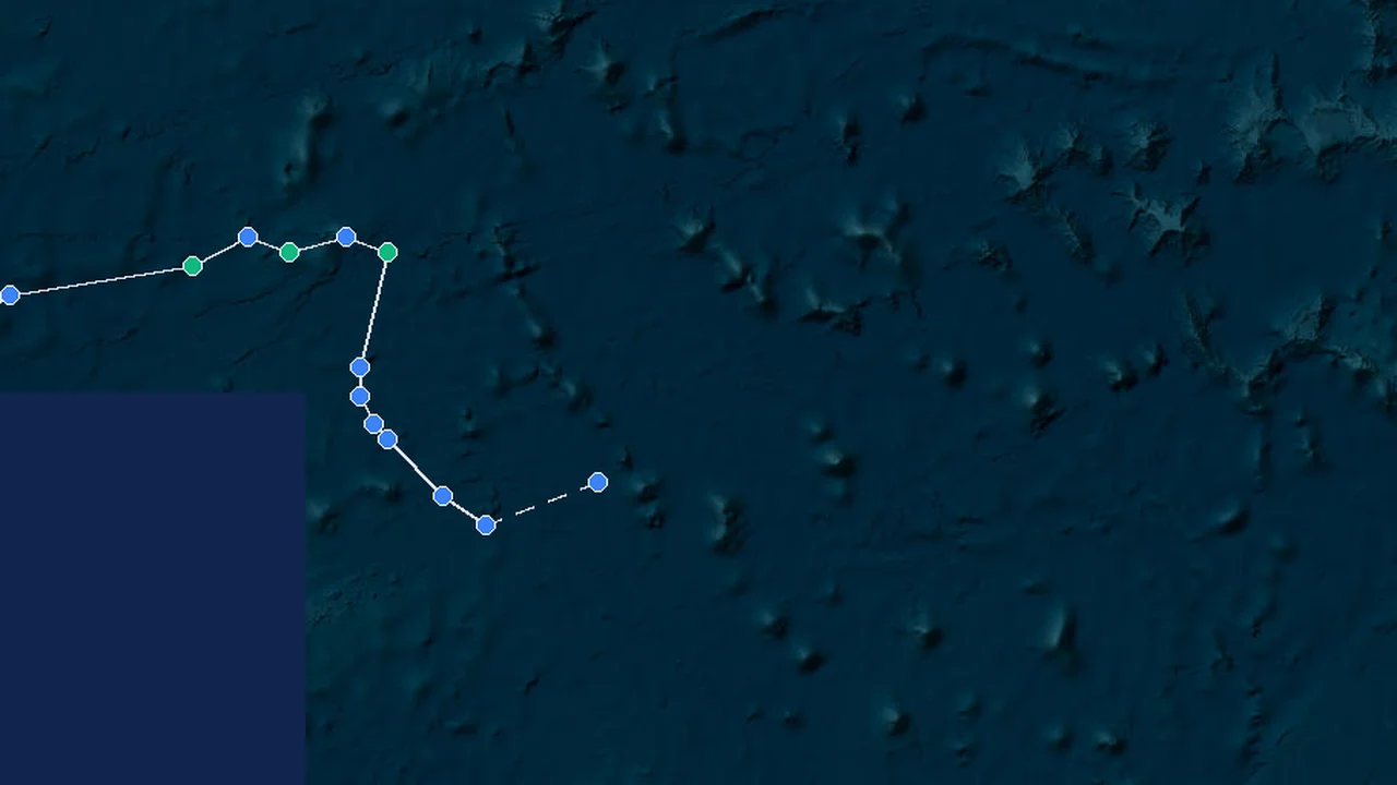
Tropical Depression Olana (2026)
Formation Time: 25 Oct 2026 00:00 GMT-12
Formation Location: East Pacific(14.3°N, 179.8°W)
Dissipation Time: 26 Oct 2026 15:00 GMT-12
Max Wind Speed: 40 mph (65 km/h)
Min Pressure: 1002 hPa
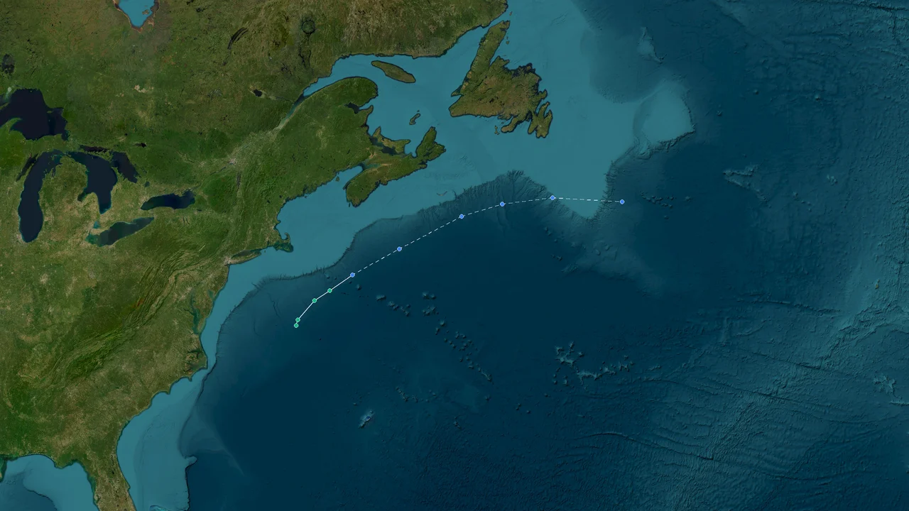
Tropical Depression Josephine (2026)
Formation Time: 21 Oct 2026 16:00 GMT-5
Formation Location: Atlantic(37.4°N, 69.5°W)
Dissipation Time: 22 Oct 2026 16:00 GMT-5
Max Wind Speed: 63 mph (101 km/h)
Min Pressure: 990 hPa
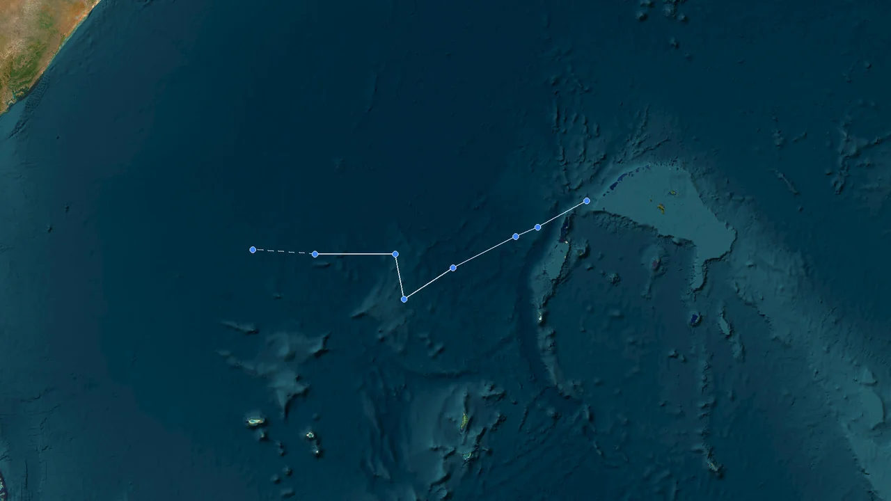
Tropical Depression Agueda (2026)
Formation Time: 20 Oct 2026 10:00 GMT+4
Formation Location: Indian Ocean(4.5°S, 53.8°E)
Dissipation Time: 23 Oct 2026 22:00 GMT+4
Max Wind Speed: 0 mph (0 km/h)
Min Pressure: 0 hPa
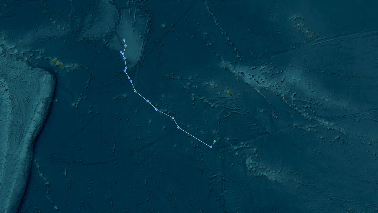
Tropical Depression Wati (2026)
Formation Time: 15 Oct 2026 19:00 GMT-11
Formation Location: East Pacific(10.8°S, 163.3°W)
Dissipation Time: 19 Oct 2026 07:00 GMT-11
Max Wind Speed: 74 mph (119 km/h)
Min Pressure: 984 hPa
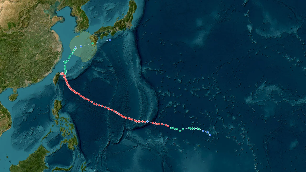
Tropical Depression Champi (2026)
Formation Time: 14 Oct 2026 23:00 GMT+11
Formation Location: West Pacific(9.6°N, 161.2°E)
Dissipation Time: 26 Oct 2026 05:00 GMT+11
Max Wind Speed: 148 mph (238 km/h)
Min Pressure: 934 hPa
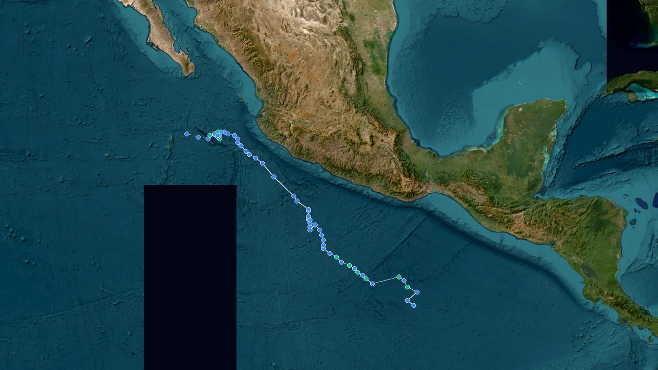
Tropical Depression Trudy (2026)
Formation Time: 13 Oct 2026 06:00 GMT-6
Formation Location: Atlantic(9.5°N, 96.1°W)
Dissipation Time: 19 Oct 2026 21:00 GMT-6
Max Wind Speed: 121 mph (194 km/h)
Min Pressure: 956 hPa
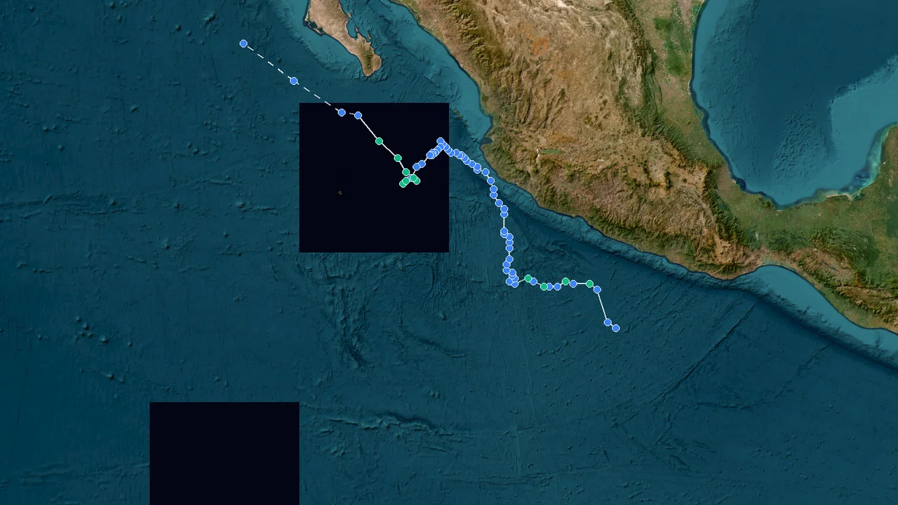
Tropical Depression Simon (2026)
Formation Time: 07 Oct 2026 05:00 GMT-7
Formation Location: East Pacific(13.9°N, 100.6°W)
Dissipation Time: 16 Oct 2026 14:00 GMT-7
Max Wind Speed: 154 mph (248 km/h)
Min Pressure: 928 hPa
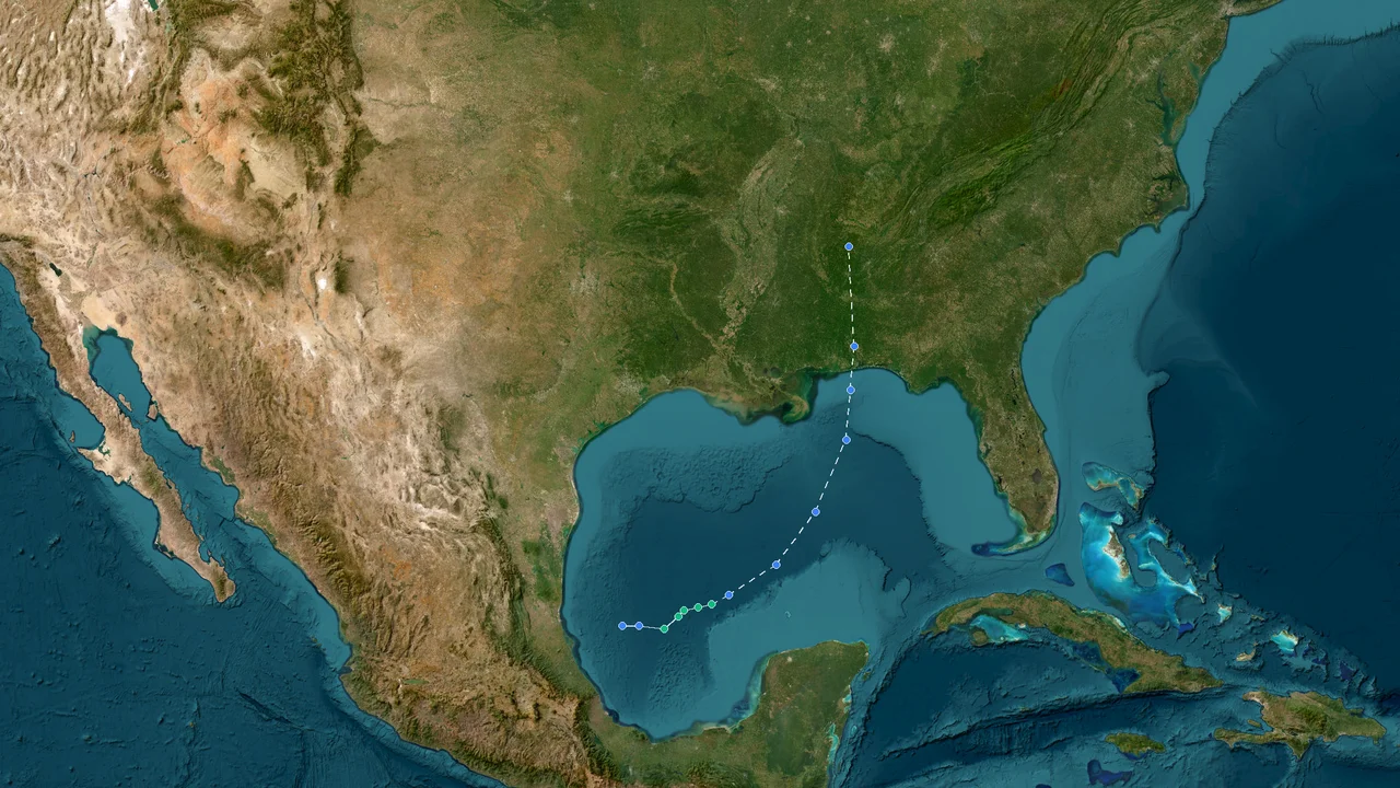
Tropical Depression Isaias (2026)
Formation Time: 06 Oct 2026 15:00 GMT-6
Formation Location: Atlantic(22.1°N, 95.6°W)
Dissipation Time: 11 Oct 2026 09:00 GMT-6
Max Wind Speed: 121 mph (194 km/h)
Min Pressure: 959 hPa
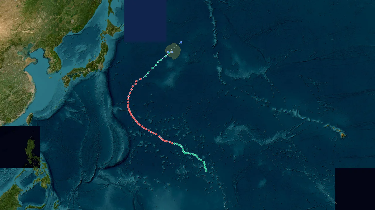
Extratropical Low Koguma (2026)
Formation Time: 05 Oct 2026 11:00 GMT+11
Formation Location: West Pacific(10.4°N, 168.1°E)
Dissipation Time: 14 Oct 2026 11:00 GMT+11
Max Wind Speed: 101 mph (162 km/h)
Min Pressure: 950 hPa
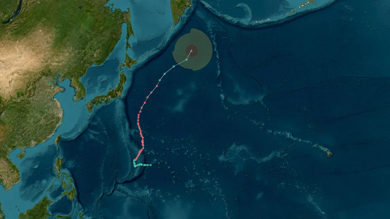
Extratropical Low Choi-wan (2026)
Formation Time: 30 Sep 2026 22:00 GMT+10
Formation Location: West Pacific(16.0°N, 150.0°E)
Dissipation Time: 07 Oct 2026 22:00 GMT+10
Max Wind Speed: 112 mph (180 km/h)
Min Pressure: 925 hPa
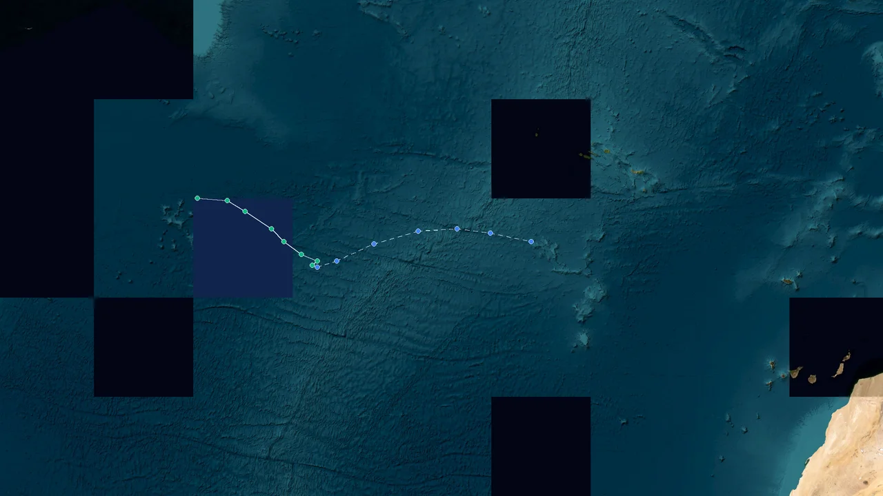
Tropical Depression Hanna (2026)
Formation Time: 28 Sep 2026 12:00 GMT-3
Formation Location: Atlantic(36.6°N, 50.4°W)
Dissipation Time: 30 Sep 2026 12:00 GMT-3
Max Wind Speed: 45 mph (72 km/h)
Min Pressure: 1006 hPa
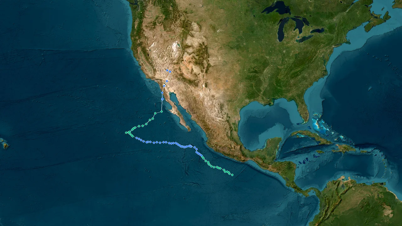
Tropical Depression Rachel (2026)
Formation Time: 27 Sep 2026 14:00 GMT-7
Formation Location: Atlantic(12.6°N, 99.1°W)
Dissipation Time: 11 Oct 2026 08:00 GMT-7
Max Wind Speed: 121 mph (194 km/h)
Min Pressure: 950 hPa
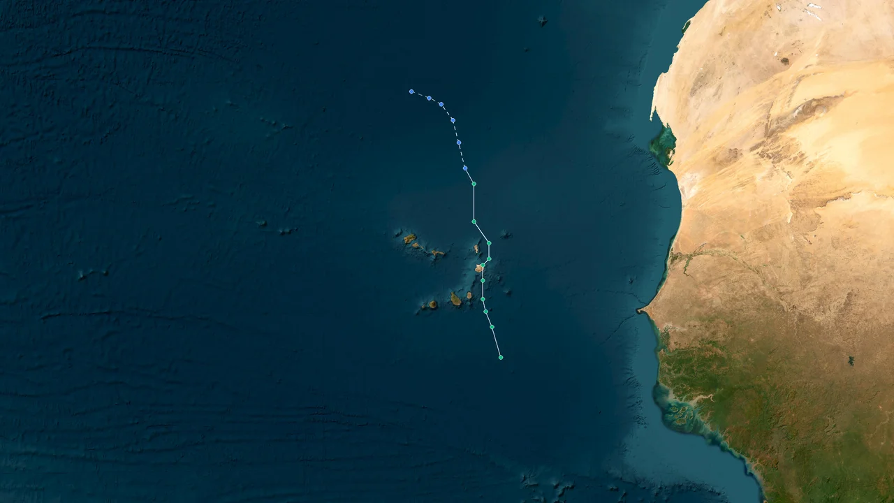
Tropical Depression Gonzalo (2026)
Formation Time: 25 Sep 2026 02:00 GMT-1
Formation Location: Atlantic(13.2°N, 22.1°W)
Dissipation Time: 26 Sep 2026 20:00 GMT-1
Max Wind Speed: 52 mph (83 km/h)
Min Pressure: 1002 hPa
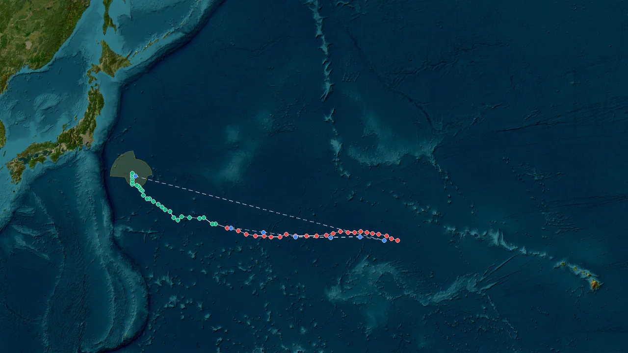
Tropical Depression Nolo (2026)
Formation Time: 23 Sep 2026 14:00 GMT-10
Formation Location: East Pacific(14.6°N, 155.8°W)
Dissipation Time: 10 Oct 2026 20:00 GMT-10
Max Wind Speed: 154 mph (248 km/h)
Min Pressure: 929 hPa
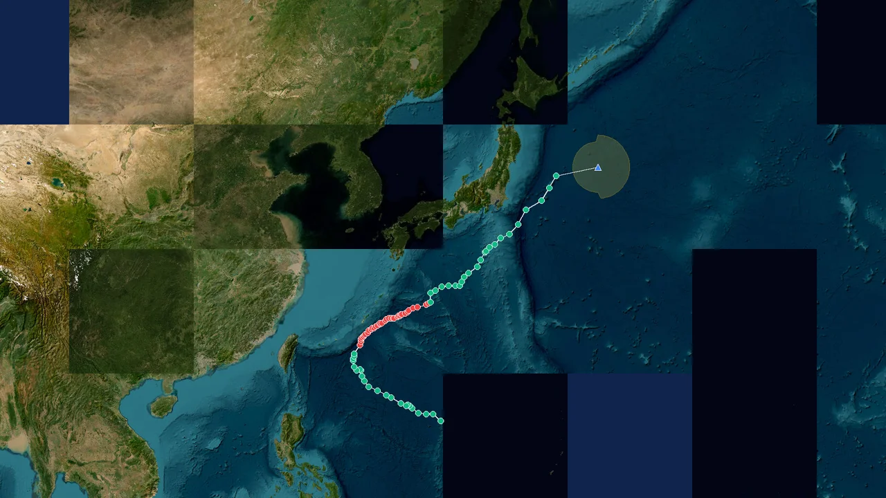
Extratropical Low Surigae (2026)
Formation Time: 24 Sep 2026 03:00 GMT+9
Formation Location: West Pacific(17.2°N, 136.2°E)
Dissipation Time: 02 Oct 2026 03:00 GMT+9
Max Wind Speed: 112 mph (180 km/h)
Min Pressure: 945 hPa
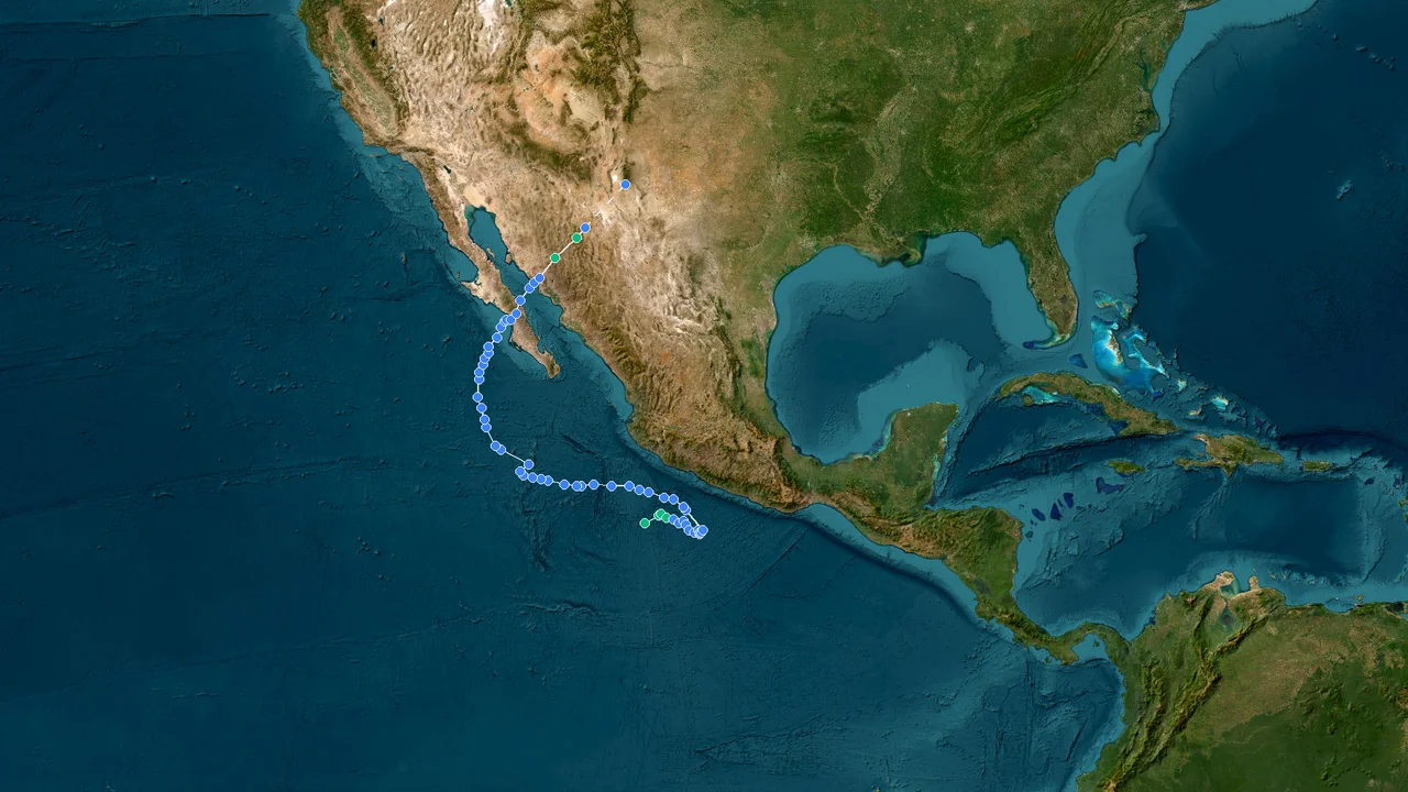
Tropical Depression Polo (2026)
Formation Time: 20 Sep 2026 17:00 GMT-7
Formation Location: East Pacific(15.1°N, 104.8°W)
Dissipation Time: 29 Sep 2026 20:00 GMT-7
Max Wind Speed: 176 mph (284 km/h)
Min Pressure: 892 hPa
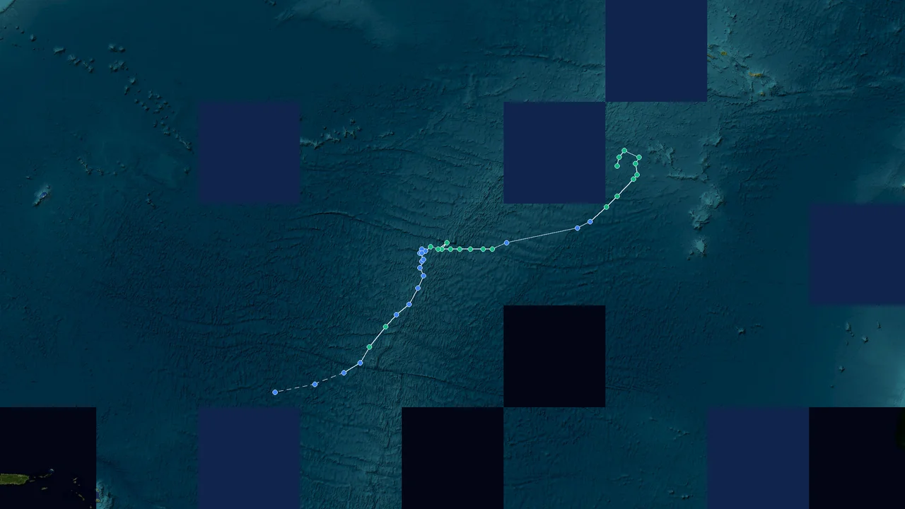
Tropical Depression Fay (2026)
Formation Time: 20 Sep 2026 07:00 GMT-2
Formation Location: Atlantic(33.7°N, 33.1°W)
Dissipation Time: 29 Sep 2026 19:00 GMT-2
Max Wind Speed: 67 mph (108 km/h)
Min Pressure: 995 hPa
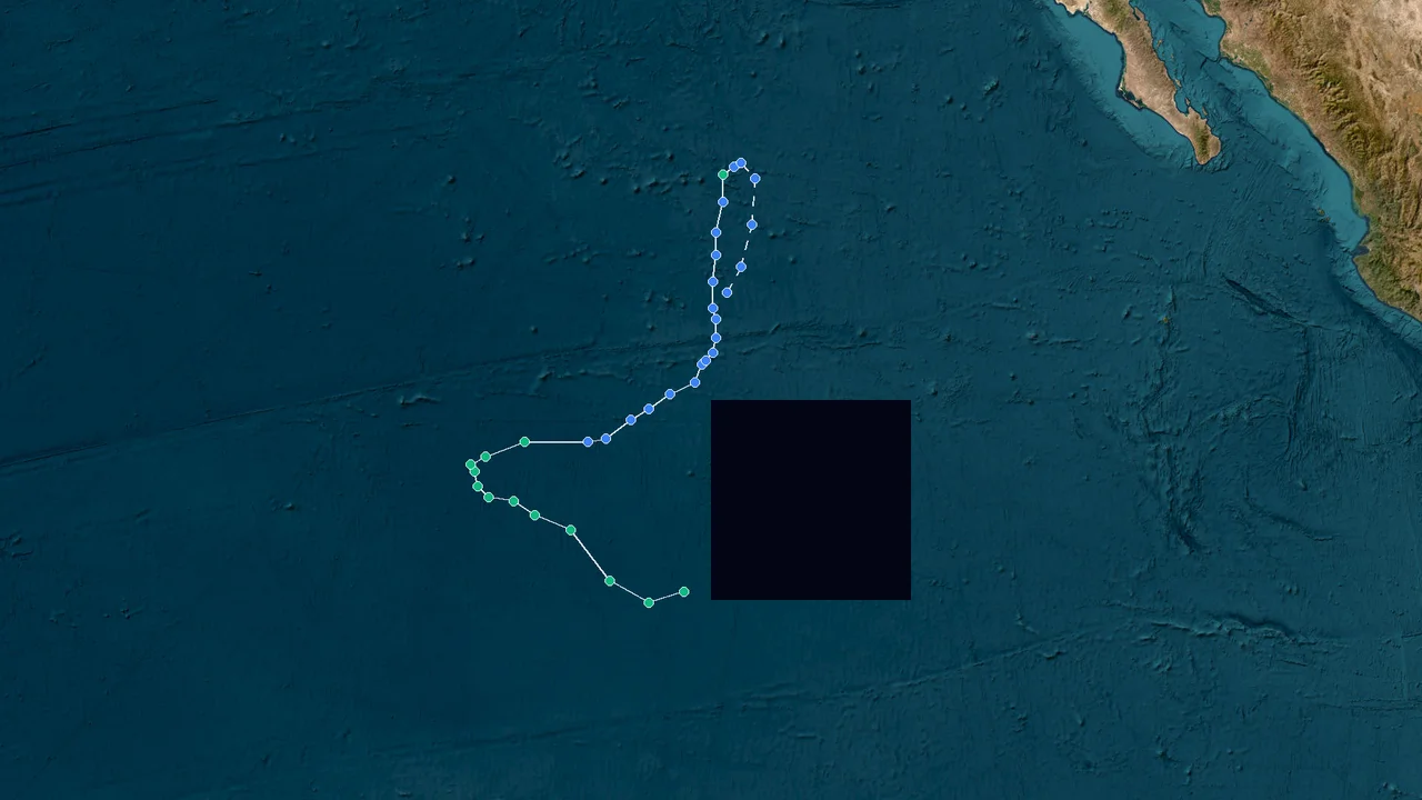
Tropical Depression Odalys (2026)
Formation Time: 19 Sep 2026 22:00 GMT-8
Formation Location: East Pacific(11.2°N, 124.2°W)
Dissipation Time: 27 Sep 2026 13:00 GMT-8
Max Wind Speed: 132 mph (212 km/h)
Min Pressure: 946 hPa
Storm Database Information
StormAtlas maintains one of the most comprehensive tropical cyclone databases available online. Our records cover storms across all major ocean basins including the Western Pacific, Eastern Pacific, Atlantic, Indian Ocean and South Pacific. Data is sourced from official meteorological agencies including JMA, NHC, JTWC and CMA.
Frequently Asked Questions about Storm Atlas
What types of global storms does StormAtlas track?
StormAtlas monitors global tropical cyclones in real time, including Western Pacific typhoons, Atlantic & East Pacific hurricanes, Indian Ocean cyclones, and tropical depressions.
How can I search historical hurricane and typhoon archives?
You can filter storms by year on the Storm List page or search by storm name or ID in the search bar to access historical tracks and intensity evolution.
Global Tropical Cyclone Taxonomy & Multi-Basin Monitoring
Tropical cyclones are warm-core non-frontal synoptic-scale weather systems that develop over tropical or subtropical oceans. Depending on their location and intensity, they are referred to as hurricanes, typhoons, severe tropical cyclones, or severe cyclonic storms.
The World Meteorological Organization (WMO) coordinates six Regional Specialized Meteorological Centres (RSMC) and six Tropical Cyclone Warning Centres (TCWC) to ensure continuous satellite, radar, and reconnaissance tracking.
International agencies measure wind using different averaging durations, requiring empirical conversion constants.
Frequently Asked Meteorological Questions
Aligned with official WMO and regional meteorological agency guidance