
Typhoon Pena Live Tracking Map
Local time · Active since 06 Nov 2026 08:00 GMT-10
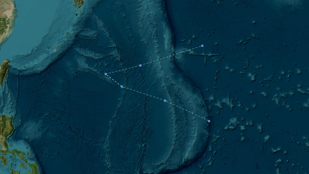
Estimated Storm Impact Analysis
Real-time analysis of population and infrastructure exposure within the storm's wind field.
Basic Information
Current Wind Speed
45 mph (72 km/h)
Current Pressure
1002 mb
Forward Movement
Moving WNW at 12 mph (19 km/h)
Lifetime Peak Wind
45 mph (72 km/h)
Minimum Pressure
1002 mb
Region
East Pacific
Key Events
Formation
06 Nov 2026 08:00 GMT-10
11.2°N, 149.6°W
Frequently Asked Questions about Pena
Key Meteorological Milestones
Synthesized from official bulletins (NHC/NOAA, JMA, CMA, KMA). Licensed for non-commercial educational & academic research.
Genesis & Initial Classification
Named Storm Upgrade (TS)
Final Advisory / Dissipation
💾Best-Track Scientific Dataset Exporter
🟢 Live Working Track (Updating)Synthesized research-grade meteorological data ready for Excel, Python Pandas, or GIS platforms, compliant with academic citations and multi-agency validation.
Meteorological Data Transparency & Public Safety Notice
StormAtlas tracking models and advisories are synthesized from public bulletins issued by NOAA/NHC, JTWC, JMA, and CMA for situational awareness and scientific research. For emergency evacuation orders, hazard warnings, and life-safety decisions, please strictly adhere to directives from your local emergency management agencies and national meteorological services.