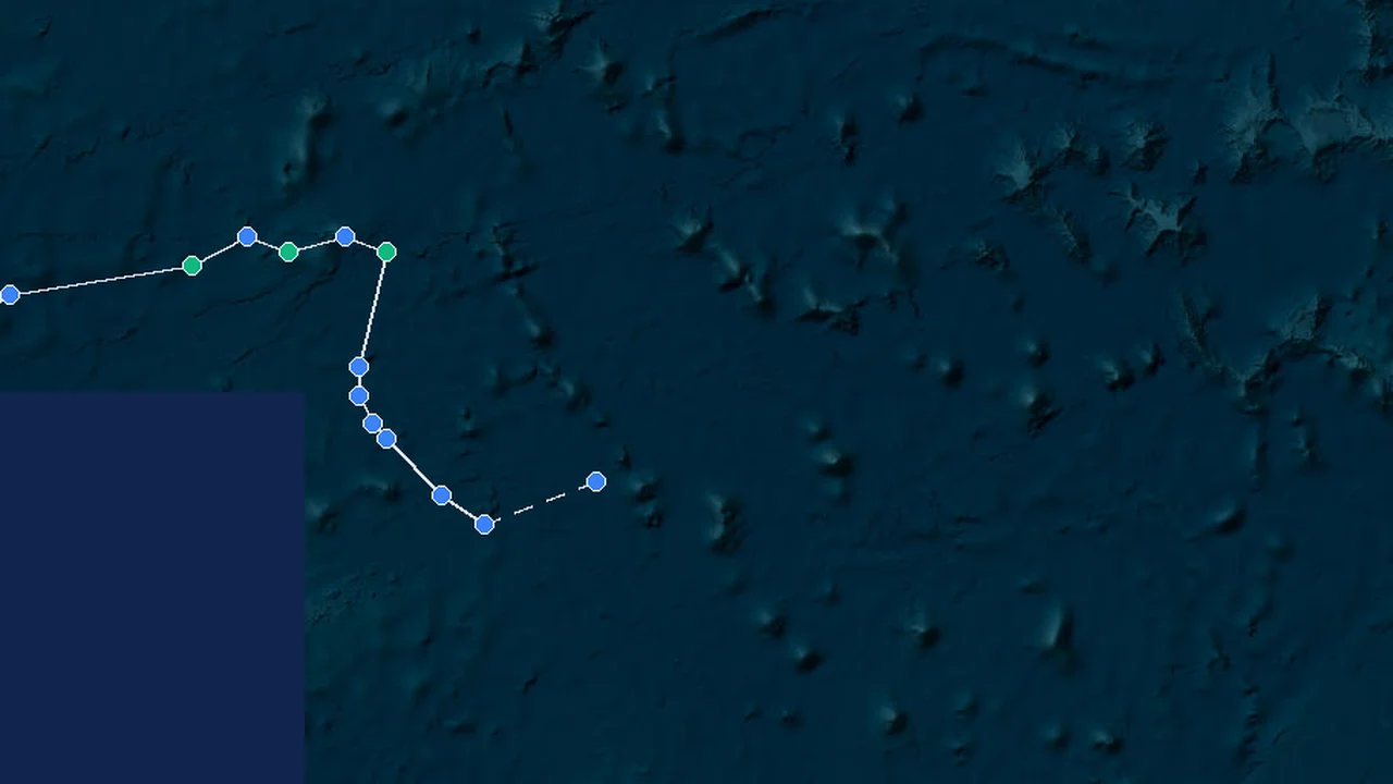
Real-time analysis of population and infrastructure exposure within the storm's wind field.
Radius: ~433 km
👥 Estimated Population at Risk
7.21Mpeople
🏥 Hospitals & Medical Centers
131facilities
🏕️ Evacuation Shelters & Centers
401centers
🏫 Schools & Critical Infrastructure
961buildings
Basic Information
Current Wind Speed
34 mph (54 km/h)
Current Pressure
1002 mb
Forward Movement
Stationary / Quasi-stationary (< 3 mph)
Lifetime Peak Wind
34 mph (54 km/h)
Minimum Pressure
1002 mb
Region
West Pacific
Key Events
Formation
06 Nov 2026 22:00 GMT+10
17.8°N, 147.7°E
Frequently Asked Questions about Cempaka
Cempaka is currently located near 17.8°N, 147.7°E, with maximum sustained winds around 54 km/h (29 kt / 34 mph).
Cempaka remains active as a Tropical Depression system, with maximum sustained winds around 54 km/h (29 kt / 34 mph).
Based on current track, wind field, and forecast intensity, StormAtlas evaluates the overall risk level for Cempaka as MODERATE. Primary potential hazards include: Tropical storm gusts, localized urban flooding, and rough seas.
Cempaka achieved maximum sustained winds of approximately 54 km/h (29 kt / 34 mph) and a minimum central pressure of approximately 1002 hPa.
Multiple numerical weather prediction models project Cempaka to continue along its predicted track. Check the interactive map above for updated path and uncertainty cone.
Based on track data, Cempaka is expected to remain approximately 733 km from Naha (Okinawa), with minimal direct threats currently anticipated.
Current forecast data is insufficient to determine direct impacts for Kagoshima from Cempaka. Please monitor future track updates.
Current forecast data is insufficient to determine direct impacts for Osaka from Cempaka. Please monitor future track updates.
Current forecast data is insufficient to determine direct impacts for Yokohama from Cempaka. Please monitor future track updates.
Projected rainfall totals of approximately 50-150 mm (2-6 inches) may occur in affected areas, creating risks of flash flooding and urban flooding.
Yes. Tropical systems carry abundant moisture, and outer rainbands can trigger flash flooding, river flooding, and urban flooding.
Adjust preparations based on the storm category and official advice. Secure outdoor items, prepare emergency supplies, keep backup power available, and follow official advisories.
Evacuation decisions must strictly follow official directives issued by local emergency management agencies. If an evacuation order is issued, evacuate immediately using designated routes. Do not rely solely on a single forecast model.
StormAtlas regularly updates based on publicly available data from international meteorological agencies. The latest data update was at November 6, 2026 at 05:00 PM.
Cempaka developed over warm ocean waters under conditions of high atmospheric moisture and low vertical wind shear.
The forecast path integrates data from multiple international meteorological agencies and numerical weather prediction models (such as NHC, JMA, JTWC, and CMA) using ensemble forecasting methods to generate probabilistic forecast tracks.
Key Meteorological Milestones
Synthesized from official bulletins (NHC/NOAA, JMA, CMA, KMA). Licensed for non-commercial educational & academic research.
🌀
Genesis & Initial Classification
Tropical Depression
📅 06 Nov 2026 12:00 (06 Nov 2026 22:00 GMT+10)🌐 17.8°N, 147.7°E🏛️ Official
Wind Speed54 km/h (29 kt)
Pressure1002 hPa
💾Best-Track Scientific Dataset Exporter
🟢 Live Working Track (Updating)
Synthesized research-grade meteorological data ready for Excel, Python Pandas, or GIS platforms, compliant with academic citations and multi-agency validation.
🛡️
Meteorological Data Transparency & Public Safety Notice
StormAtlas tracking models and advisories are synthesized from public bulletins issued by NOAA/NHC, JTWC, JMA, and CMA for situational awareness and scientific research. For emergency evacuation orders, hazard warnings, and life-safety decisions, please strictly adhere to directives from your local emergency management agencies and national meteorological services.